Exploitation Field of Coal „Košute – Turjaci“
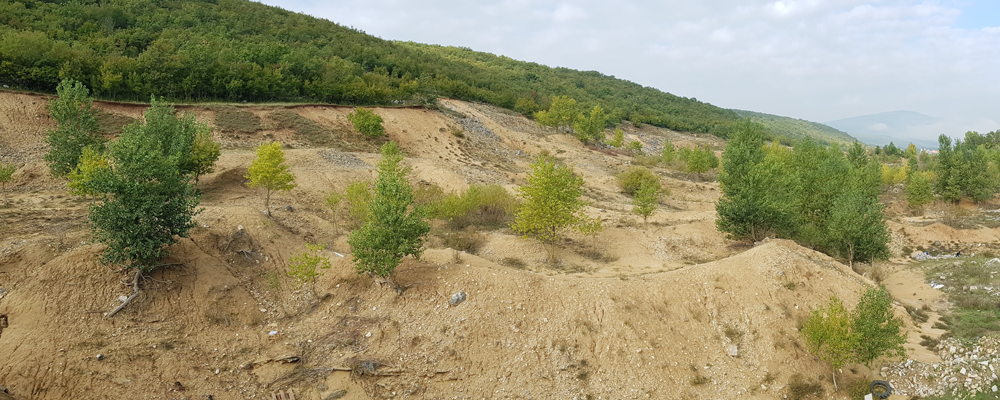
The exploitation field “Košute – Turjaci” is located on the border of the Sinj area (39.43% of the surface) and the Trilj area (60.57% of the surface), near the state road D60 Brnaze – Vinjani Donji. It is in close proximity to the village of Turjaci (approximately 500 meters) and adjacent to the village of Košute. It is about 7 km east of Dicmo, about 10 km southeast of Sinj, and about 4 km northwest of Trilj.
The deposit “Košute – Turjaci” is situated in Miocene deposits (Neogene) that were formed in lake basins – paleodepressions. Along the marl boundary with older deposits, there are deposits of Quaternary sand. The deposit is composed of well-sorted, fine-grained, limestone sands, which contain about 75% CaCO3 and about 20% SiO2. The lignite coal deposits appear in the form of lenses of varying thickness and shape. The main direction of the lignite deposits is east-west.
RAW MATERIAL
Coal and quartz sand
LOCATION
City of Sinj and Trilj, Split-Dalmatia County, Croatia
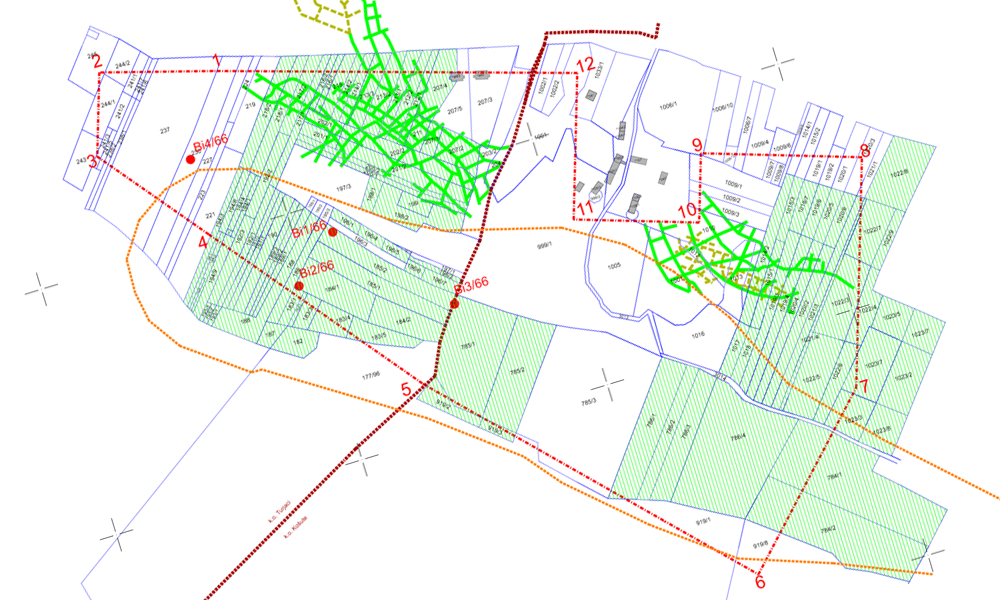
EXPLOITATION AREA
287 100 m2
PROJECT DOCUMENTATION:
- Report on the market value assessment of the mining operation „Košute-Turjaci“
- Report on the liquidation value assessment of the mining operation
- Posted by Rudar projekt
- On 31st kolovoz 2021
- 0 Comment